
 Image source, Getty
Simon King
Lead Weather Presenter
Temperatures are forecast to increase across the UK over the next few days - and above the official heatwave threshold in some places for the third time this year.
There are likely to be highs of 34C on Friday and possibly Saturday with the sweltering temperatures continuing into early next week.
The UK Health Security Agency (UKHSA) has issued yellow heat health alerts for every region in England which will remain in place until 10:00 BST 15 July.
The warnings mean that health and social care services could potentially be significantly affected by the weather – such as through a rise in deaths or an increase in demand for health services.
Yellow alerts are less serious than the UKHSA's amber alerts which had been issued during previous spells of hot weather this year.
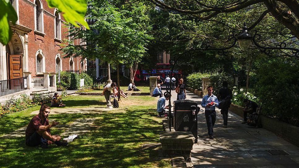
Thursday is set to be a warm day for much of England and Wales with temperatures widely getting up to 24 to 28C.
The hottest areas are likely to be in the south Midlands, central southern and south-east England with temperatures of 30 to 32C.
By Friday, the heat will move into Scotland and Northern Ireland which could both see their hottest days of the year if the temperature exceeds 29.1C and 29.5C respectively.
This is very likely particularly on Saturday.
Across England and Wales, the heat will be widespread on Friday and Saturday with highs of 27C to 33C, perhaps 34C.
While this latest heatwave will bring hotter weather for more of us, the highest temperature is unlikely to exceed the highest UK temperature of the year so far when 35.8C was reached on 1 July in Faversham, Kent.
Met Office criteria establish a heatwave is reached when a threshold temperature is met or exceeded for at least three consecutive days.
The threshold varies from 25C across the north and west of the UK, to 28C in parts of eastern England.
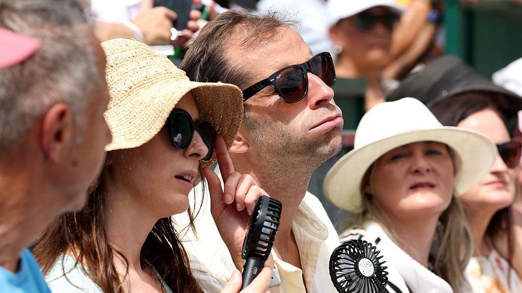 Image source, Getty
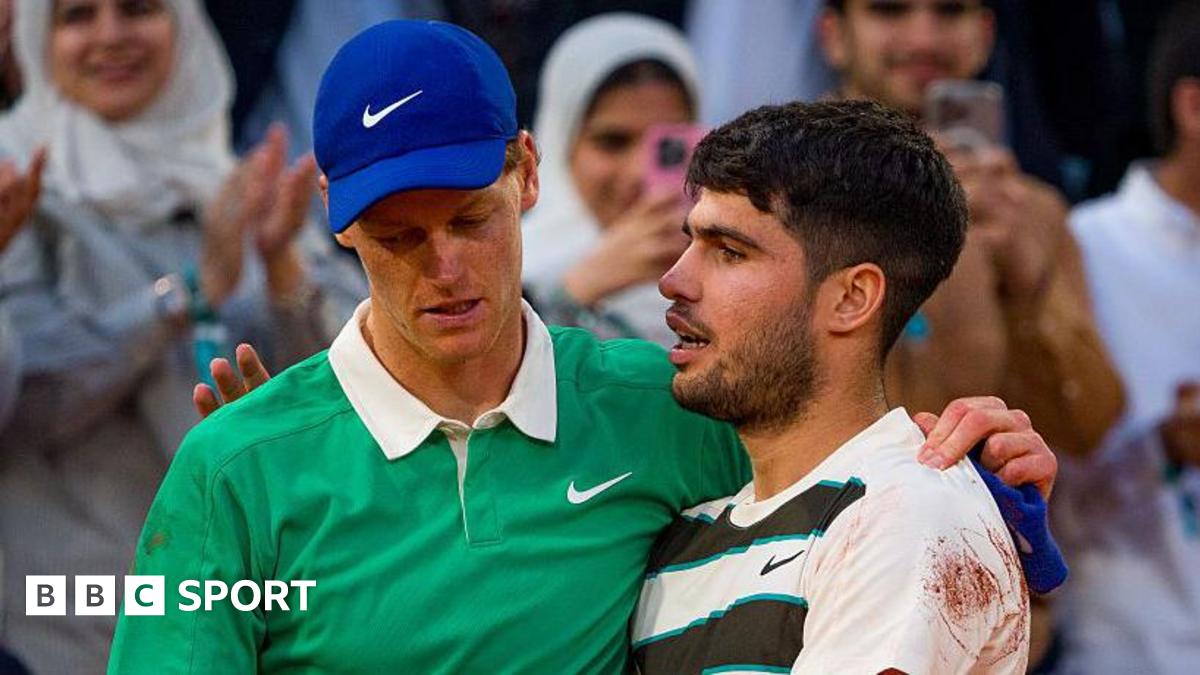
After the hottest opening day to Wimbledon on record, the Finals over the weekend will also see temperatures in the low thirties
After the hottest opening day to Wimbledon (32.2C), the women's and men's finals over the weekend will also see temperatures exceeding 30C.
But it is likely to fall just short of the hottest Wimbledon finals day which occurred in 1976 when the temperature reached 34.1C.
By Sunday, a cooler north-easterly breeze will develop and which will shift the hottest weather into more central areas of England and east Wales.
Temperatures across the UK will be in the high twenties to low thirties for most.
We will start to see temperatures fall in Scotland and Northern Ireland on Monday as showers and cooler air moves in from the north-west.
Cooler weather is forecast to spread to all parts of the UK on Tuesday meaning temperatures will fall below the heatwave threshold.
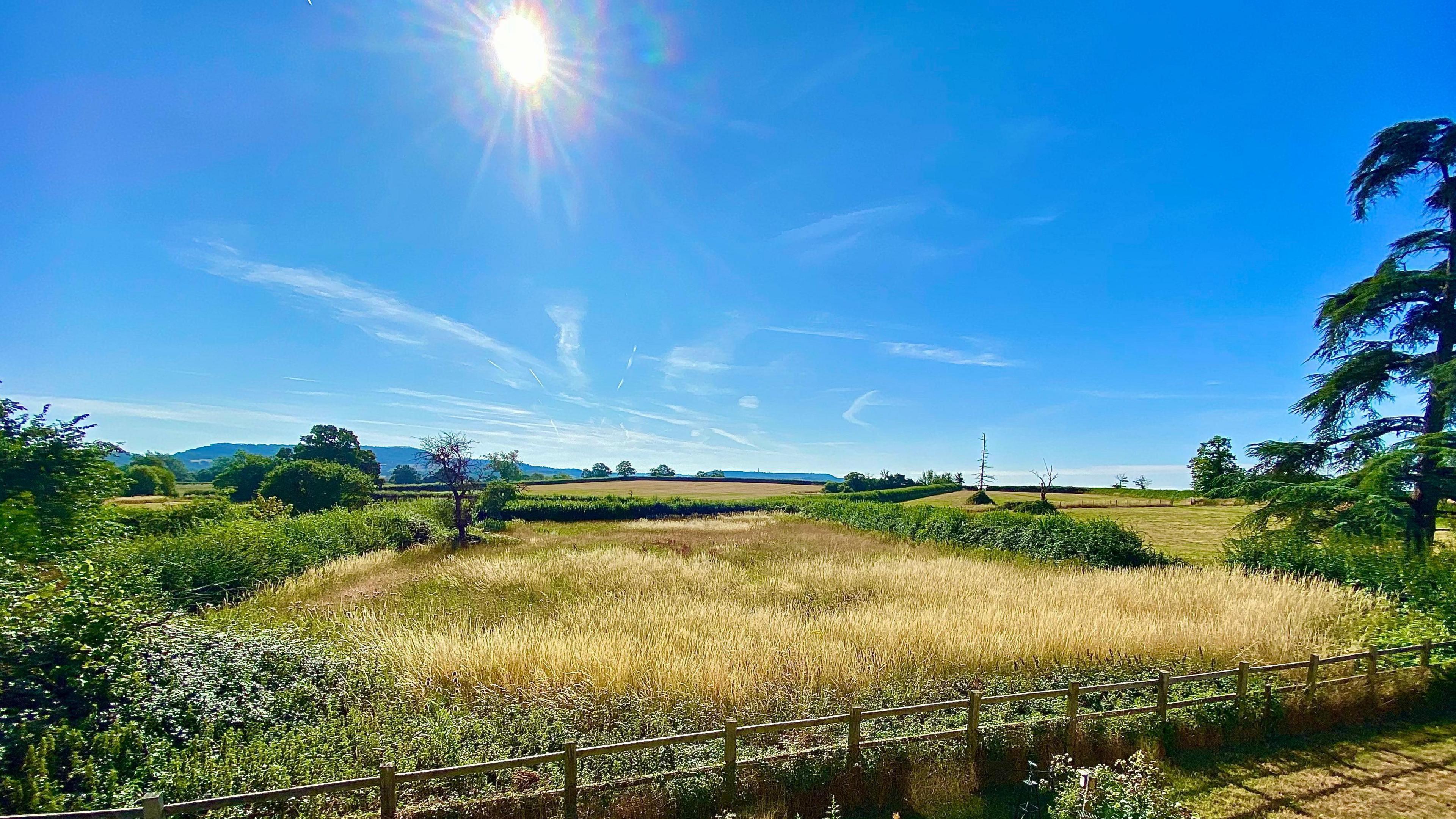 Image source, BBC Weather Watchers / SantaSusie
Tuesday should see the UK temperatures fall below the heatwave threshold
How unusual is a third summer heatwave?
Comparing heatwaves each year is difficult because they are location dependant and the current Met Office heatwave definition has only been in place since 2019.
A heatwave occurring a some point during the summer is fairly common.
While this heatwave is being highlighted as the third, Scotland and Northern Ireland missed out on the heatwave at the end of June and beginning of July.
The last time we experienced three heatwaves in the UK was in 2022.
This was also when the UK saw the highest temperature on record with 40.3C at Coningsby.
In terms of the "number of heatwave days" - when at least one UK location met the threshold temperature - there have been 25 days in 2025 as of 10 July.
Only in 1989 and 2018 were there more "heatwave days" at this point in the year - with 26 and 34 days respectively, according to data from weather website Starlings Roost Weather, external.
While we might expect hotter weather for at least a time during the summer, temperatures over the next few days are around 7 to 10C above average for mid-July.
Climate scientists are clear that heatwaves will become more frequent, more intense and last longer with climate change.
The head of conservation at the Bedfordshire, Cambridgeshire and Northamptonshire Wildlife Trust, Matt Jackson, told BBC Breakfast there are both short and long term impacts of the heat on wildlife.
"The short term impacts are we can see things happening so much earlier in the year – things are happening 10 or 15 days earlier than we would have expected even only 20 years ago," he said.
"The difficulty is that things go out of sync.
"We get the butterflies which feed the birds for instance coming out [at a time that is] out of sync with the bird breeding cycle - so they don't have the amount of food they need to feed their chicks."
However, he said the longer term changes are the "biggest problem" giving the example of soil moisture changing the plant communities.
"We think drought is now the biggest threat to nature reserve management across the country.
"It is changing the way our nature reserves work and we're having to try and work out how to adapt to that."
Heatwaves: The New Normal?
How hot is too hot? From heat labs to firefighting helicopter pilots and wineries, this is a look at how extreme heat impacts people and environments in the UK.


 English (US) ·